
EO (Earth Observation) data and technology to detect, map, monitor and forecast ground deformations.
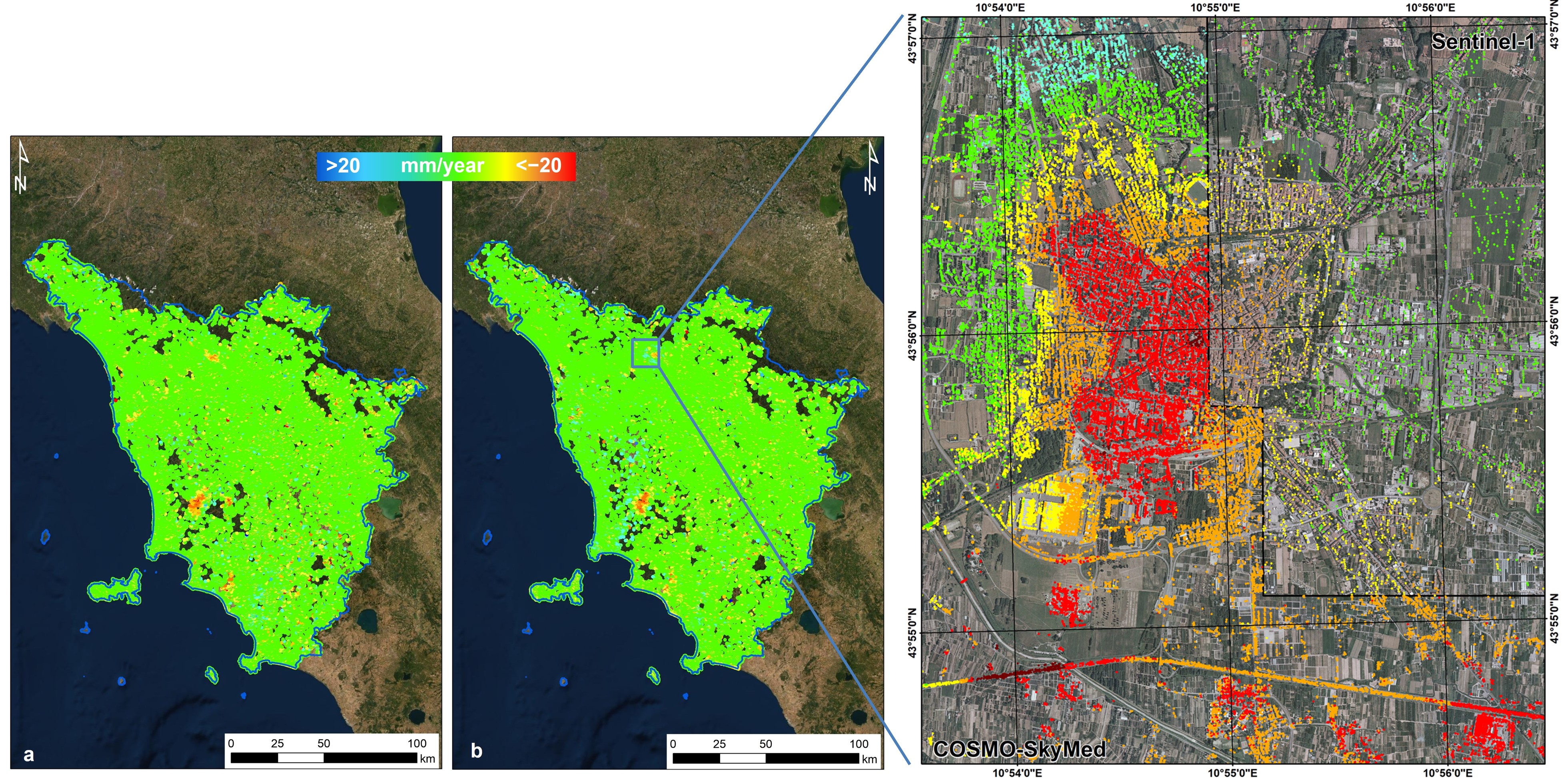
This activity deals with the exploitation of the large data archives of EO data for geo-hydrological mapping. The aim is devoted to improving the satellite surveillance system based on all the EO data (radar, multi- and hyperspectral) already available from several satellites (ERS, ENVISAT, RADARSAT, COSMO-SkyMed, SENTINEL-1).
Last update
11.05.2022