
Innovative technologies for landslide monitoring and early warning.
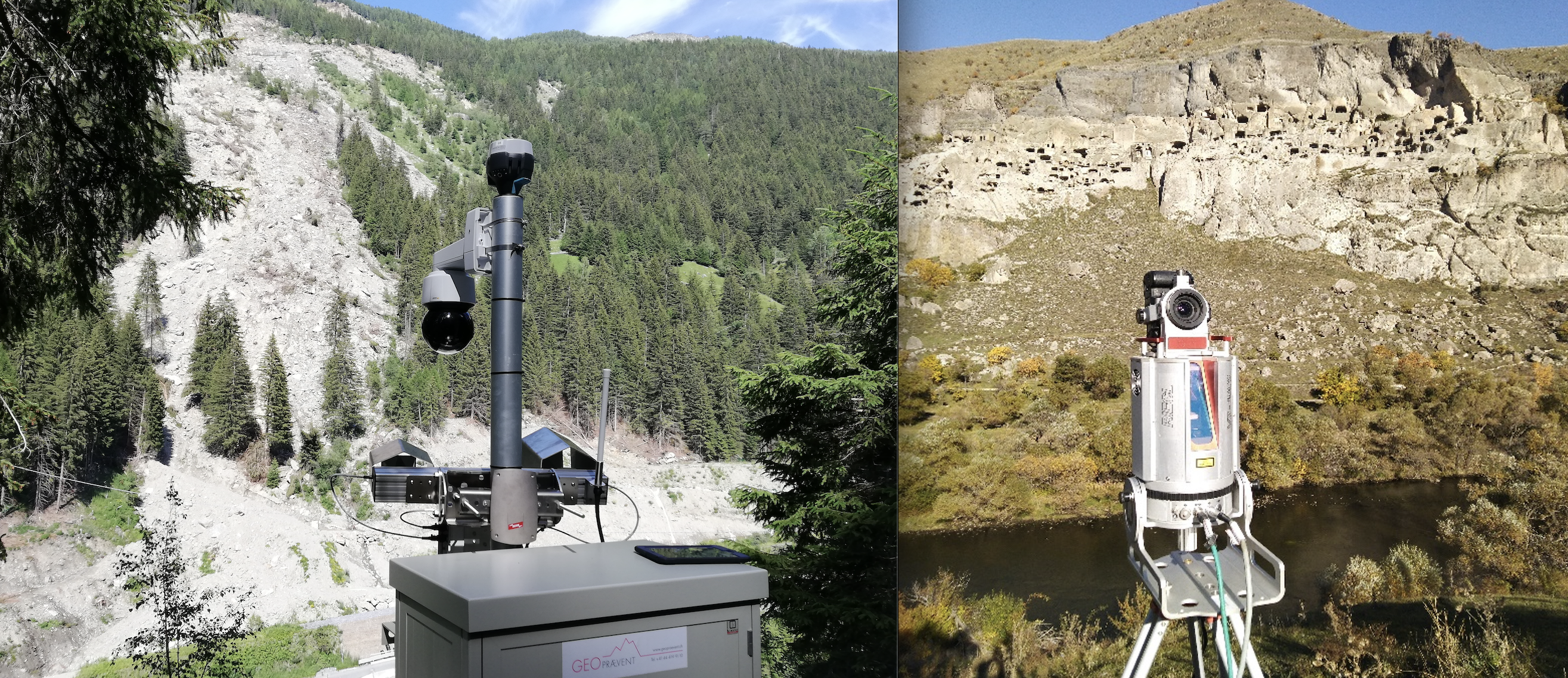
This activity focuses on the application of innovative monitoring techniques in order to estimate the deformational evolution of the landslide masses and the successive operative implementation of Early Warning Systems (EWS). This is achieved by the synergistic use of rapid mobile units for localized survey based on terrestrial, marine and airborne sensors, which are: Ground-Based Radar (GB-InSAR), Ground penetrating radar (GPR), Doppler Radar, Wireless Sensor Networks (WSN), Laser Scanner (LIDAR and TLS), Thermographic Camera, Robotic Total Station (TPS), unmanned aerial vehicle (UAV) and Remotely operated underwater vehicle (ROV).
Last update
11.05.2022